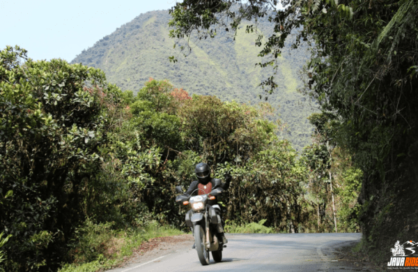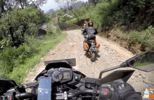
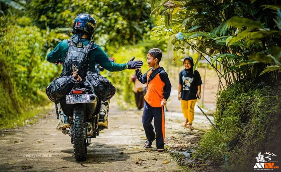
javaride.com – You’ve seen it happen. You’re forty kilometers off the main road, throttle steady, GPX track loaded, and the little blue dot on your phone just… stops caring. The line on the screen ends in a field. The road under your wheels does not. It keeps going — past a warung, over a bamboo bridge somebody’s grandfather probably built, and straight into a village that has never once shown up in a satellite update.
This isn’t a glitch. It’s the default state of a huge percentage of Java’s rideable terrain. The island’s official road network — the one Google indexes, the one your mapping app trusts — was built around cars, government infrastructure priorities, and population centers. It was never built around what a dual-sport rider actually wants: the plantation access roads, the volcanic ridge tracks, the river-adjacent paths that connect one hamlet to the next without ever touching a highway.
If you’ve ridden ADV anywhere with a serious backroad culture — Northern Thailand, the Balkans, rural Vietnam — you already know this gap exists. Java’s version of it is deeper and stranger than most riders expect, and understanding why is the difference between a route that reads great on Strava and one that actually gets you home before dark.
The Line Where the Map Stops
Indonesia’s mapping data is a patchwork, and not by accident. Government road surveys prioritize provincial and district roads — the arteries that move goods and people between cities. Everything below that tier gets mapped inconsistently, if at all, and it’s usually crowdsourced years after the road itself existed. A track that’s been in daily use by farmers and ojek riders for a decade might still show up as blank space, or worse, as a road that “doesn’t exist” according to your navigation app’s confidence score.
This matters more in Java than almost anywhere else in the archipelago, because Java’s terrain compresses so much variety into so little distance. In a single day you can move from rice terrace causeways to volcanic ash tracks to coastal laterite roads, crossing multiple micro-climates and multiple gaps in coverage. Your GPX file doesn’t know that. It just knows the last confirmed data point, which might be a year old, might predate a landslide, and might not account for the fact that a bridge washed out two monsoons ago and got rebuilt fifty meters downstream.
Reading the Land Like a Local
Ojek Drivers and Warung Owners Are Better Routing Than Your Satellite
Ask any road captain who’s spent real time on Java’s back routes, and they’ll tell you the same thing: the best navigation tool on the island doesn’t have a screen. It’s the guy running the warung at the crossroads who’s watched every vehicle that’s passed through for twenty years. It’s the ojek driver who knows which shortcut avoids the market traffic on Friday afternoons and which one turns into a mud trap the second it rains.
This isn’t folklore for folklore’s sake — it’s operationally real. Local knowledge routes around problems that satellite imagery can’t see: a temporary checkpoint for a village ceremony, a section of track closed for harvest, a river crossing that’s fine at 8am and un-crossable by 2pm once upstream rain hits. None of that lives in any dataset. It lives in the heads of people who are there every single day.
Bridges, Crossings, and Washouts That Never Make the Dataset
River crossings are where the map-versus-reality gap gets dangerous instead of just inconvenient. A crossing that’s a simple splash-through in dry season can become genuinely unrideable after a few hours of upland rain — and the depth, current, and bed condition change on a timeline no app tracks. Riders who treat a blue line on a screen as ground truth are the ones who end up standing knee-deep next to a stalled bike, wondering why the “road” turned into a river.
Two Seasons, Two Completely Different Route Networks
Java doesn’t have one backroad network — it has two, and they swap depending on the calendar. Dry season opens up river-bed shortcuts, ridge tracks, and ash-field routes near the volcanoes that are simply unrideable, or unwise, once the rains start. Wet season closes those down but firms up other surfaces and changes which villages are easiest to reach by which road. A route that’s a highlight in August can be a liability in January, and vice versa.
This is the part generic trip-planning tools get fundamentally wrong. They treat a route as a fixed asset — plan it once, ride it whenever. On Java’s unmapped network, a route is a seasonal condition, not a permanent fact. Knowing which version of the map you’re riding on any given week is a skill, not a download.
Why This Actually Matters for Dual-Sport Riders
None of this is a knock on GPX files or mapping apps — they’re essential tools, and no serious rider should be out here without one loaded as a baseline. The issue is trusting them as the final word instead of the starting point. A stale track file, downloaded from a forum three years ago, tells you nothing about this month’s ground conditions. Satellite imagery lags reality by months, sometimes longer, especially in areas with fast vegetation growth or active agricultural cycles.
The riders who get in trouble on Java aren’t usually the inexperienced ones — they’re often the confident ones, the riders who’ve navigated tough terrain elsewhere and assume the same “follow the blue dot, adapt as you go” approach transfers cleanly. It mostly does. Until it doesn’t, and the gap between what the screen says and what the road is actually doing turns into a long walk pushing a loaded bike back to the last passable junction.
This Is Exactly Why We Don’t Send You Out There Alone
This is the terrain JavaRide was built around — not the roads that show up cleanly on a screen, but the ones that only make sense with someone who rides them regularly. Every JavaRide trip is fully-supported from start to finish: a prepped motorcycle, proper gear, a support vehicle running the route with you, a towing vehicle on standby, and a mechanic who’s there before a mechanical problem becomes a stranded one.
Every trip is also private and built around who’s actually riding — a solo rider who wants serious terrain without navigating it blind, a group of friends, a corporate outing looking for something with substance, or a visiting motorcycle club that doesn’t want the cost and hassle of shipping bikes across an ocean just to ride Java properly. Our road captains aren’t reading the same map you are — they know the terrain, the weather patterns by season, and the communities along the way personally, because that relationship is what actually replaces a missing GPS pin.
That knowledge comes from more than a decade of Java Private Tour’s operational experience running trips across Java, Bali, Lombok, and Flores — but Java specifically is where our depth runs deepest. We’re not a generalist operator spreading thin coverage across the whole archipelago. We’re Java specialists, which means route knowledge and local access that a company juggling five islands simply can’t match on any single one of them. For international riders exploring Java for the first time, that’s the difference between a trip that goes well and one that depends on luck.
So, if you’re ready to ride the routes Google Maps still can’t find, head over to our contact page and let’s start planning your route. Or you can simply CLICK THIS LINK to chat with us on WhatsApp. With JavaRide, you’re not just getting a bike and a route — you’re getting fifteen years of local knowledge behind every mile. See you on the road!